Fall in LOVE with Valley of Fire
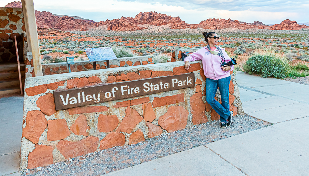
“Valley of Fire” wears its name well!
Valley of Fire is a state park located 55 miles northeast of Las Vegas off Interstate 15 at exit 75. Recently on a trip to Vegas that included last minute changes, (Cher cancelled her concert 2 days before we were supposed to see her) we ventured out to this spectacular state park to see what all the fuss was about. I’m happy to say, I have never been to such a beautiful state park, and I didn’t mind missing a concert I’ve waited my whole life to see. Literally.
I consider ourselves pretty well traveled and love seeing new areas, but I have to admit this park was a pleasant surprise considering we go to Las Vegas often and I had no idea this was out there. It wasn’t until the concert was cancelled and my husband suggested to venture out and find something new to do that we decided to make the one hour drive. We didn’t realize how vast this park was going to be, or that we would spend the entire day there. I took over 400 photos and although I don’t want to “bore” you with all of them, I have quite a bit to show on this blog post so you can actually see the variety this park has to offer.

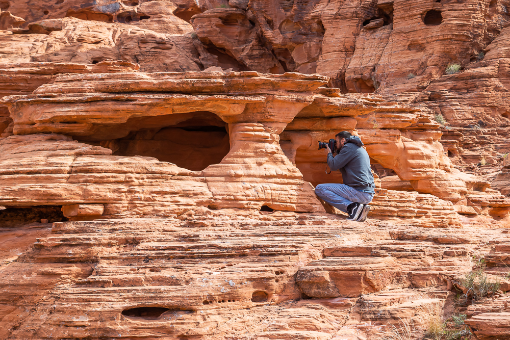
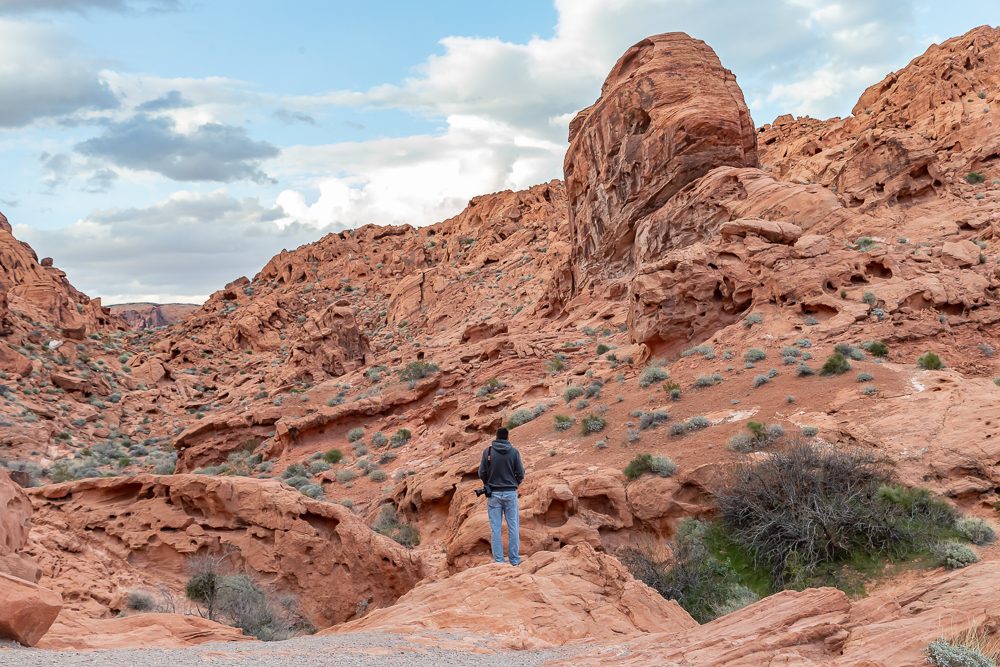

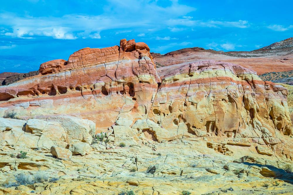

In order to understand how and why this park exists, we stopped by the visitor’s center to get more information. The park opened in 1934 and officially became a state park one year later in 1935. It is Nevada’s oldest state park, that began with a transfer with 8,760 acres of federal land to the state of Nevada in 1931. Work on the park was initiated by the Civilian Conservation Corps in 1933. During the years of their employment the CCC workers built campgrounds, trails, stone visitor cabins, ramadas, and roads. These are still visible today and the two campgrounds that exist inside the park are still available for camping. We are planning on going back for an entire week to really get to explore all the hiking trails available because one day was definitely not enough time to explore everything.


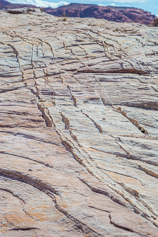
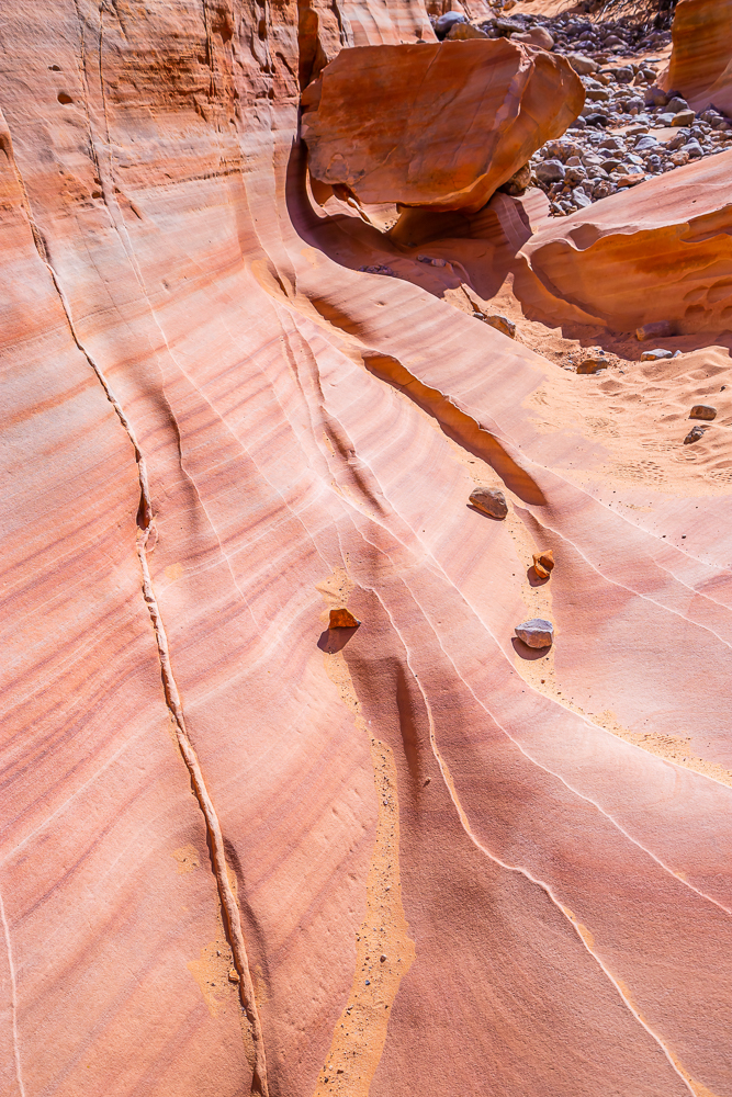

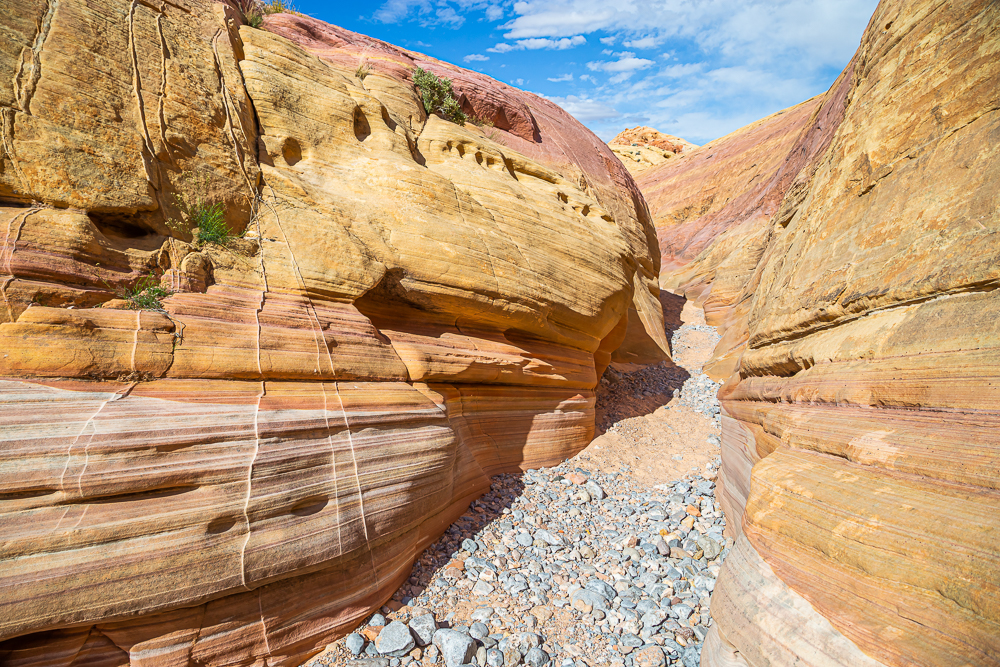


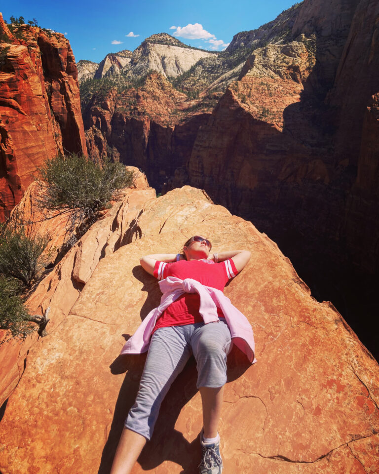
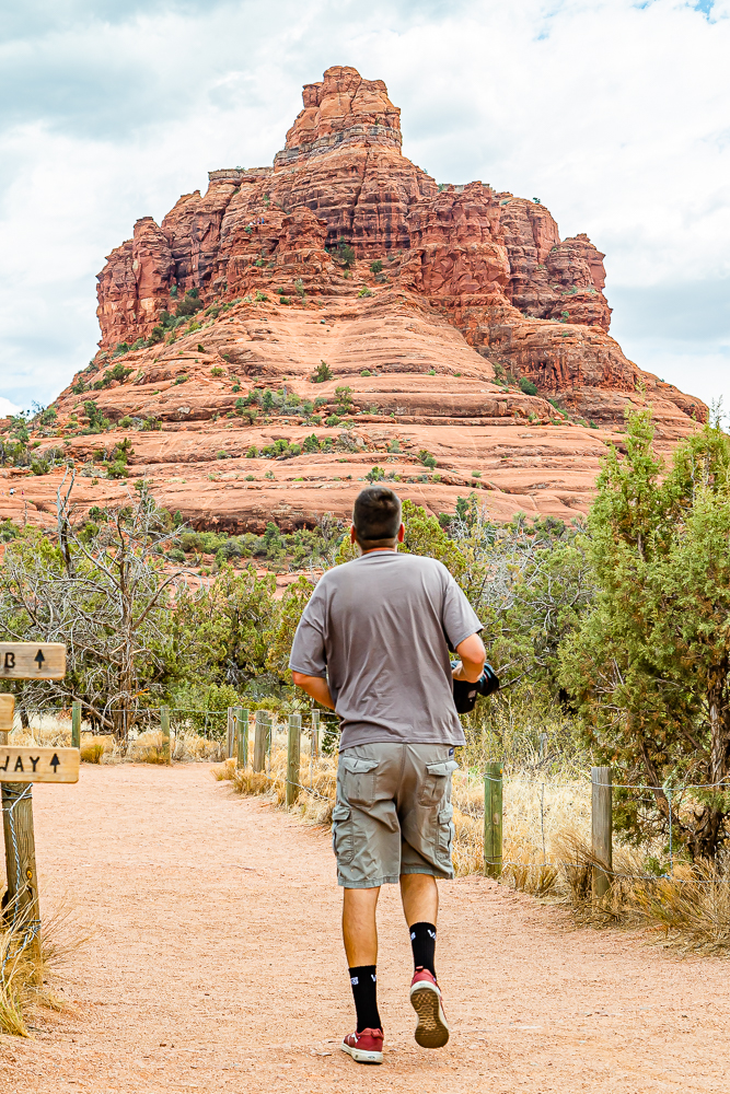
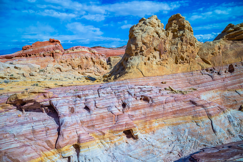
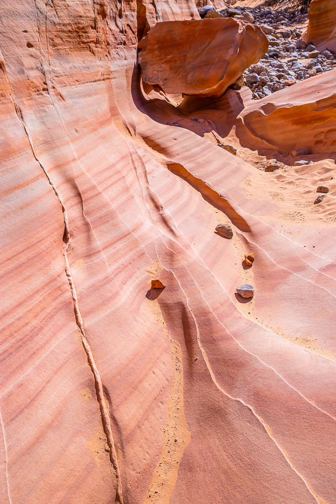
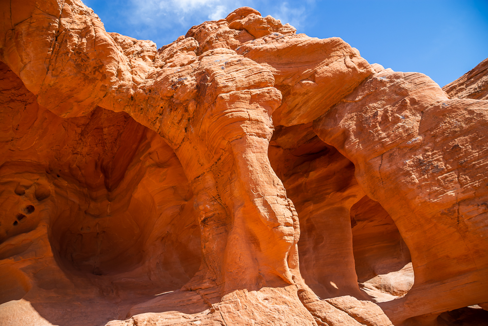
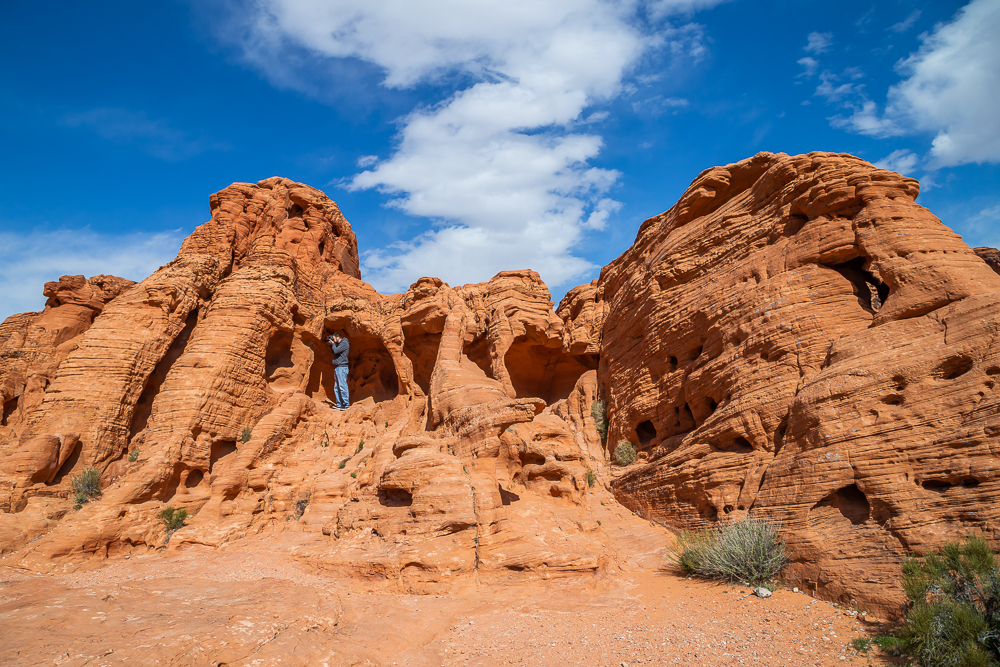
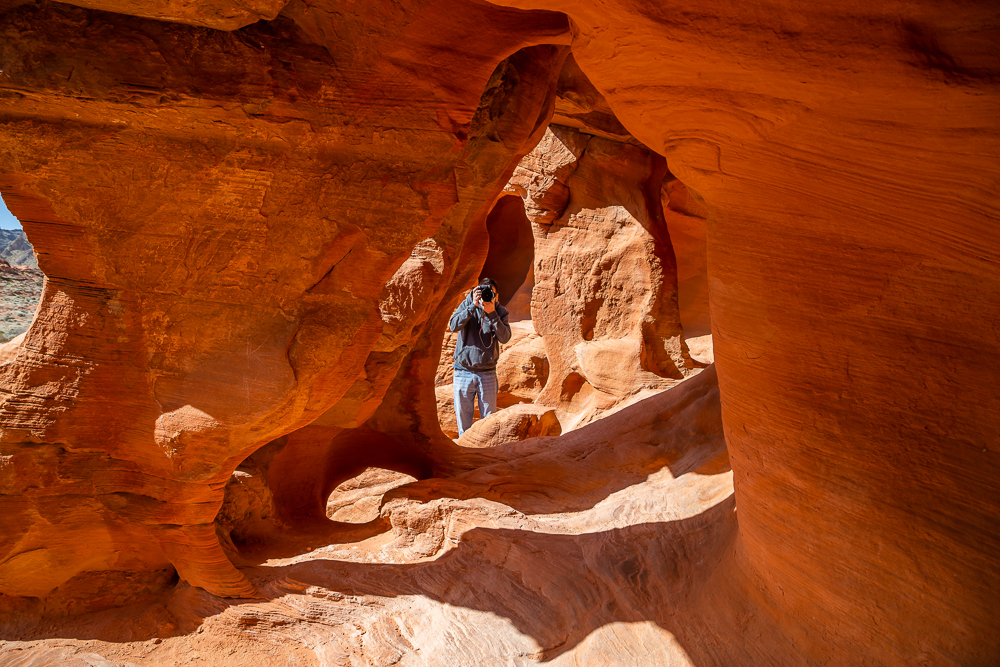
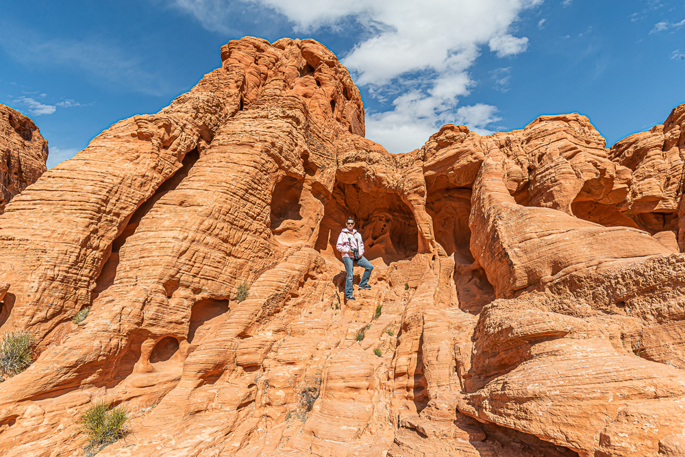
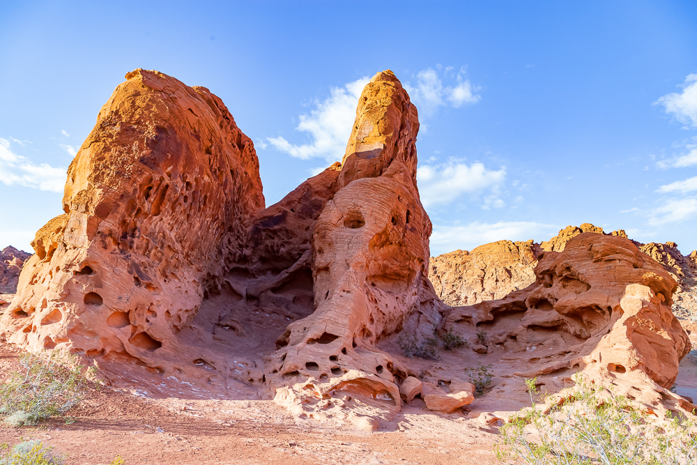
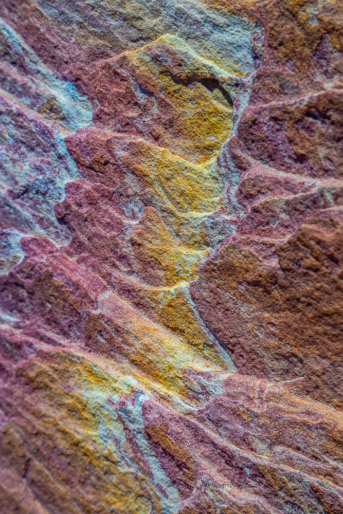
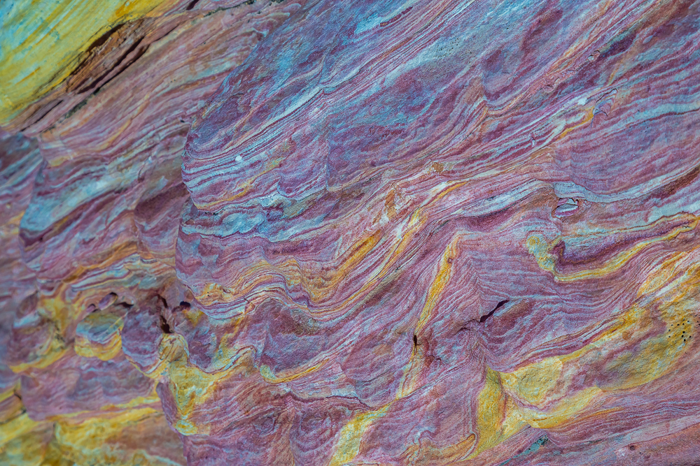
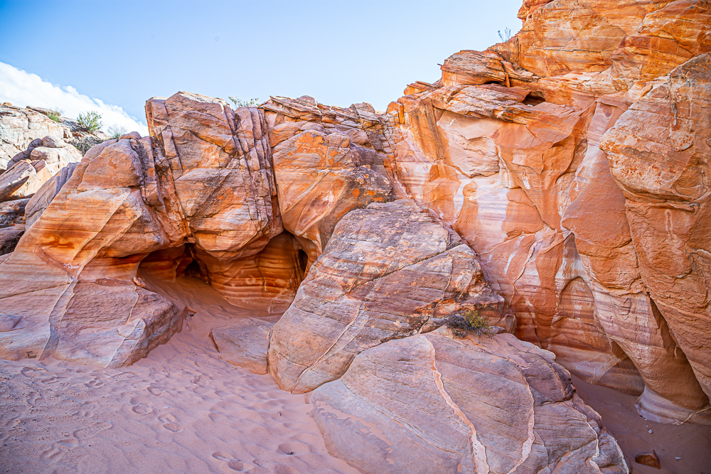
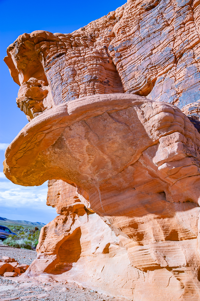
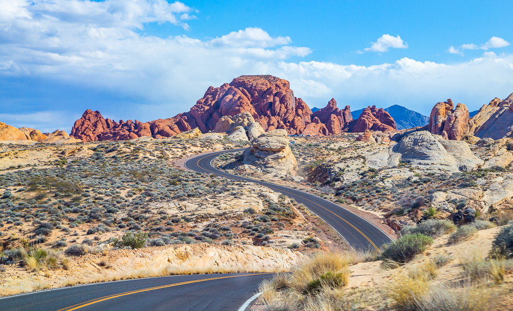
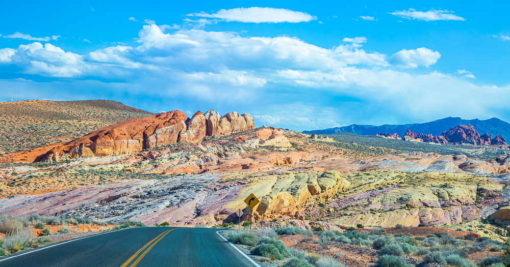
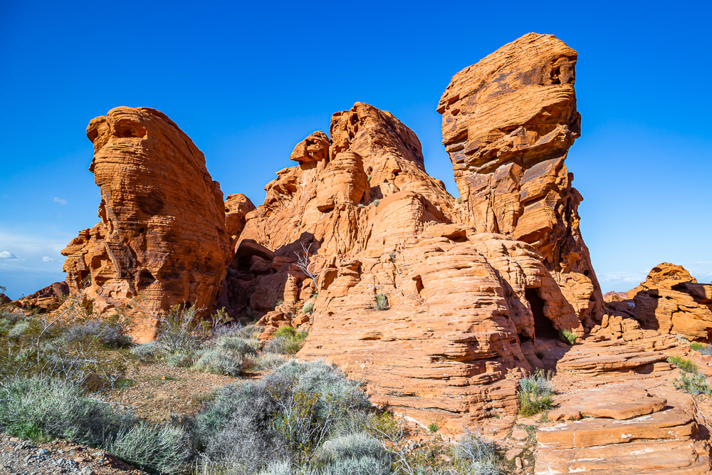
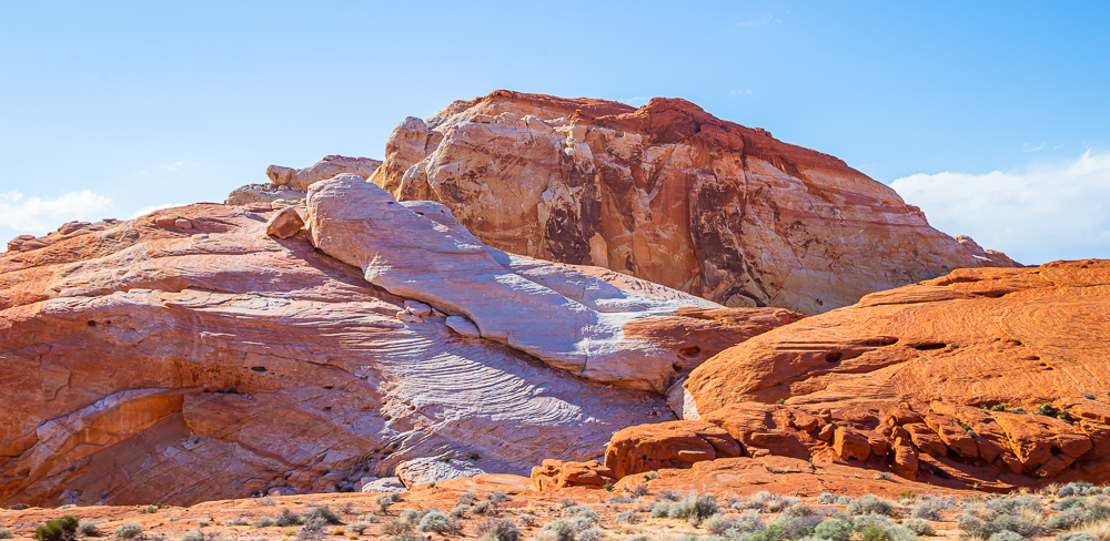
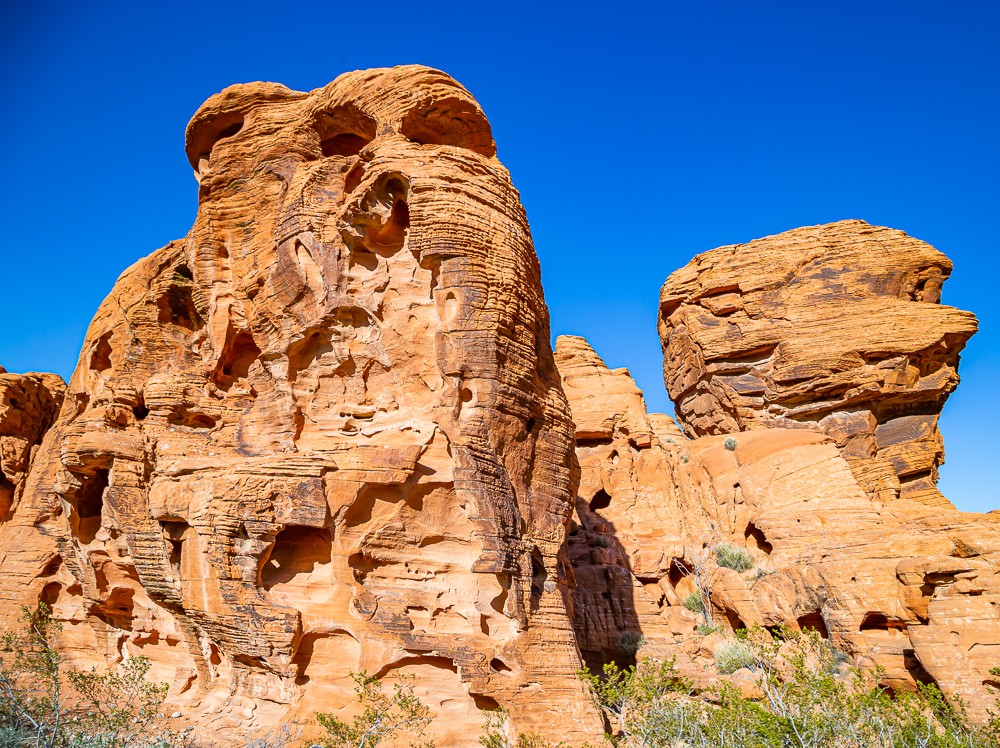
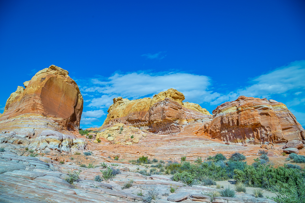
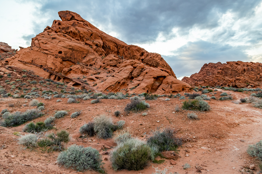
The variety of stone from the shapes, to the colors, to the types, is unmatched compared to any other place we’ve been. There is jagged rocks that contain brilliant formations of eroded sandstone and sand dunes more than 150 million years old. Complex uplifting and faulting of the region, followed by extensive erosion, have created the present landscape. Some of our favorite photos came from smooth, pink and yellow passageways we accidentally found while exploring. Rock within these caverns was created from water rushing through the area and although there is no moving water today, we did discover a few puddles. I have to say this was not a designated area on the map we were given but it definitely was my favorite spot to stop and explore, and I felt like a pirate on a treasure hunt. These are some of my favorite photos I took on this trip:

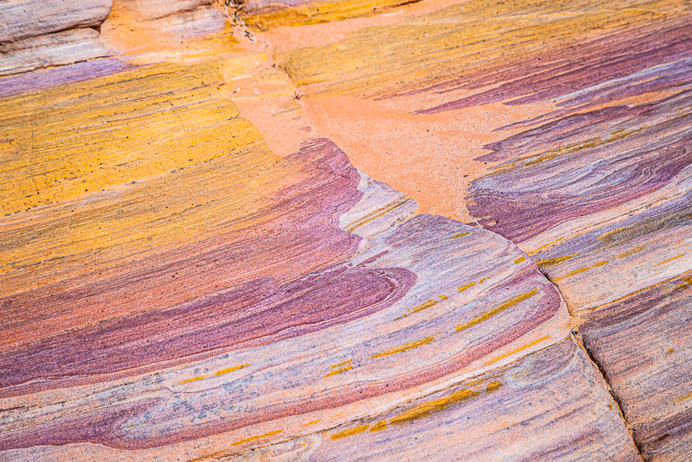
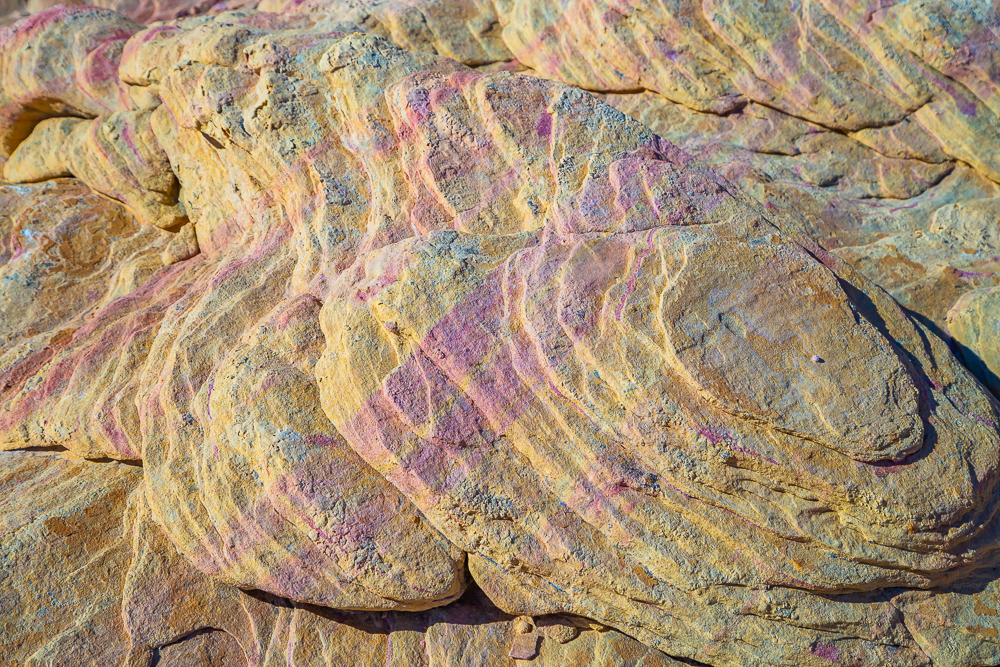
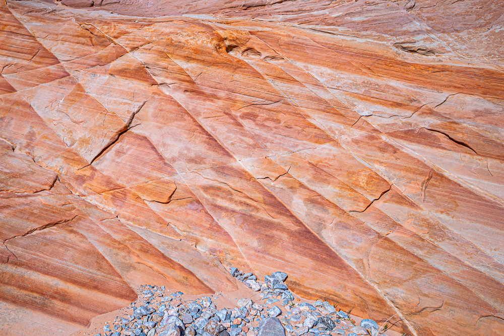
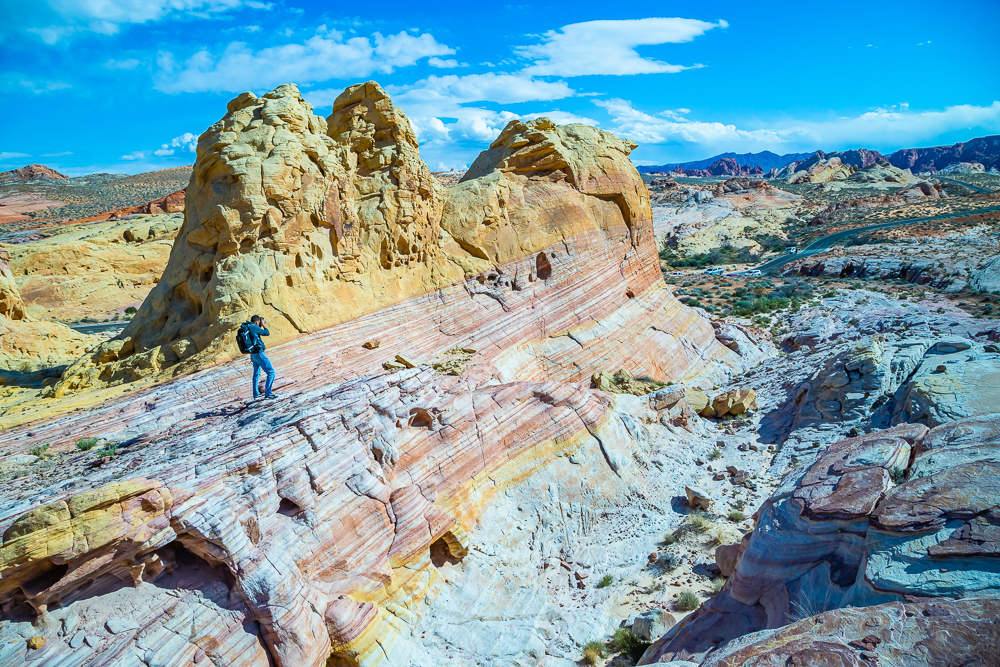


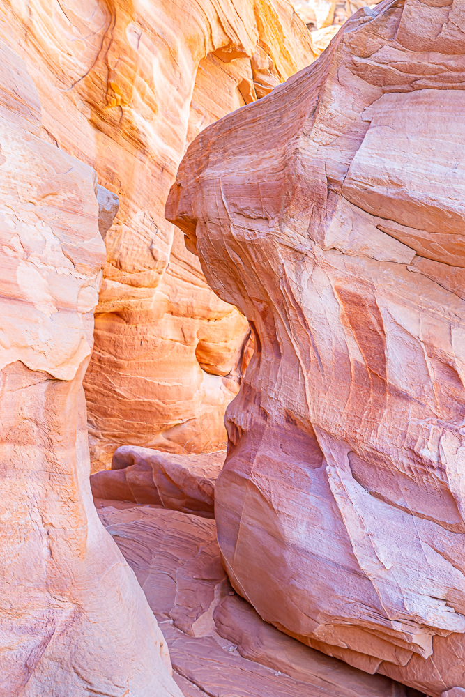
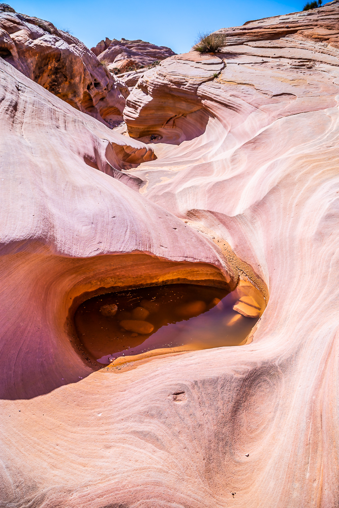


As far as designated “Points of Interest” in the park, we got to see most of them. Some by car, some by foot, but all were very easily accessible to the common person and I’m happy to announce you do not have to be a skilled hiker to see this whole park. Plus, for a $10.00 entrance fee (per car), as of 2020, you CANNOT beat this price! Here are a few park features from our trip and their descriptions right out of the brochure we received at the entrance when we paid the entry fee:

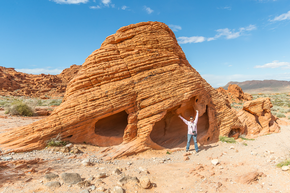
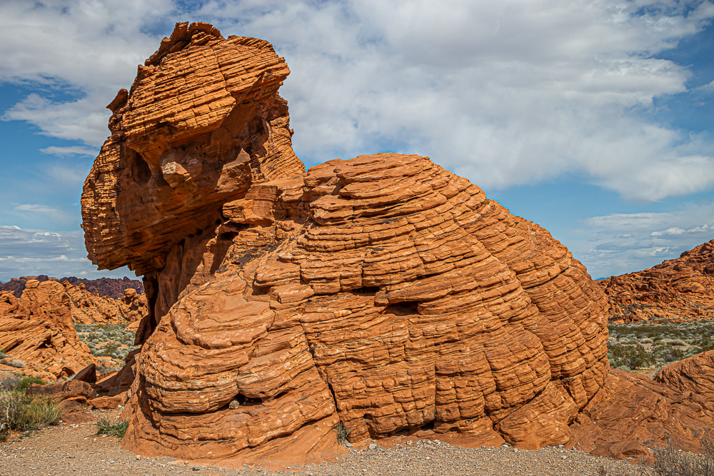
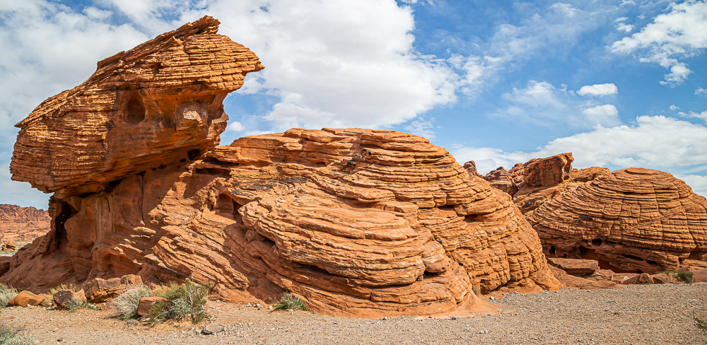
Beehives:
Unusual sandstone formations eroded by wind and water.




Fire Cave and Windstone Arch:
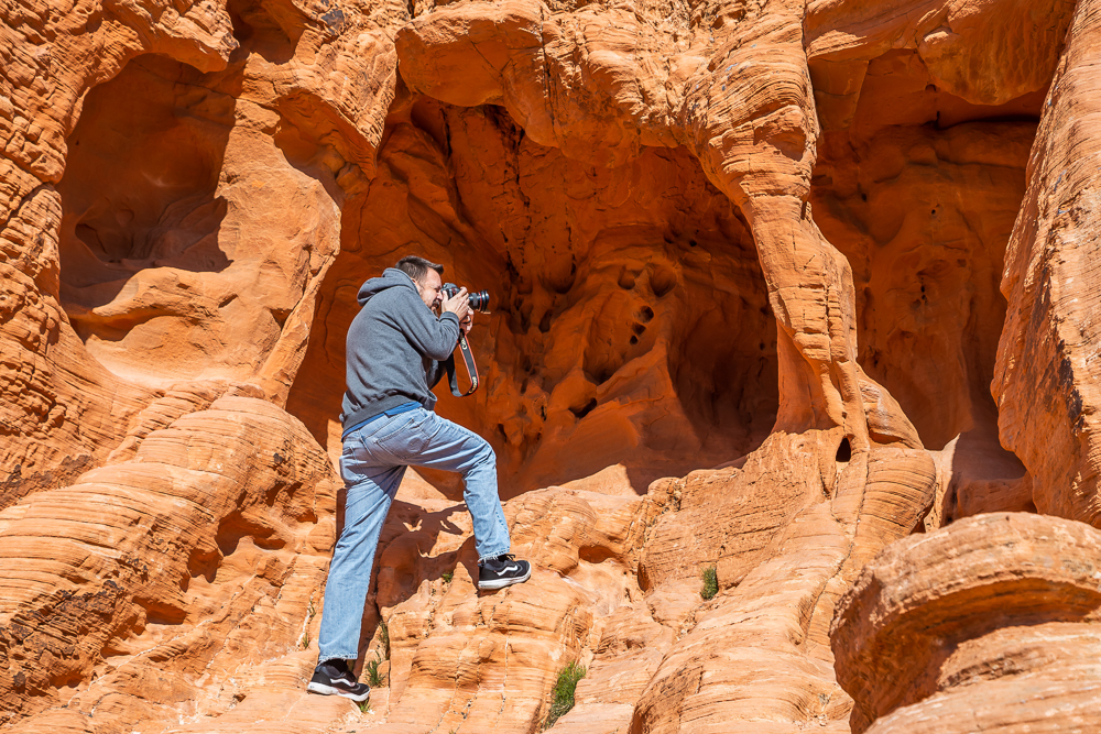
This is not in the brochure we received at the entrance but it was the first spot we stopped and I’m so glad we did. Windstone arch is inside a tiny cave and very hard to photograph because of that. I did not know about this particular arch but I did get many photos of this cave and plan to go back and photograph it correctly next time!


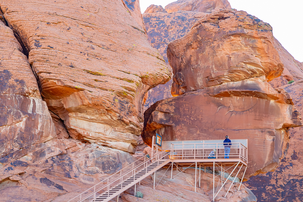
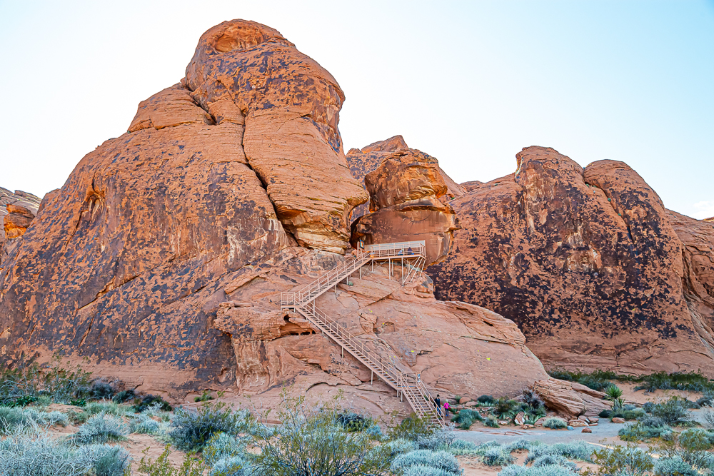
Outstanding examples of ancient Indian rock art, or petroglyphs, including a depiction of the atlatl, a notched stick used to throw primitive spears. The atlatl was a predecessor to the bow and arrow.

Atlatl Rock:


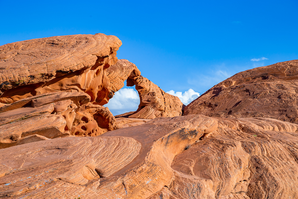
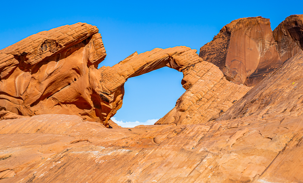
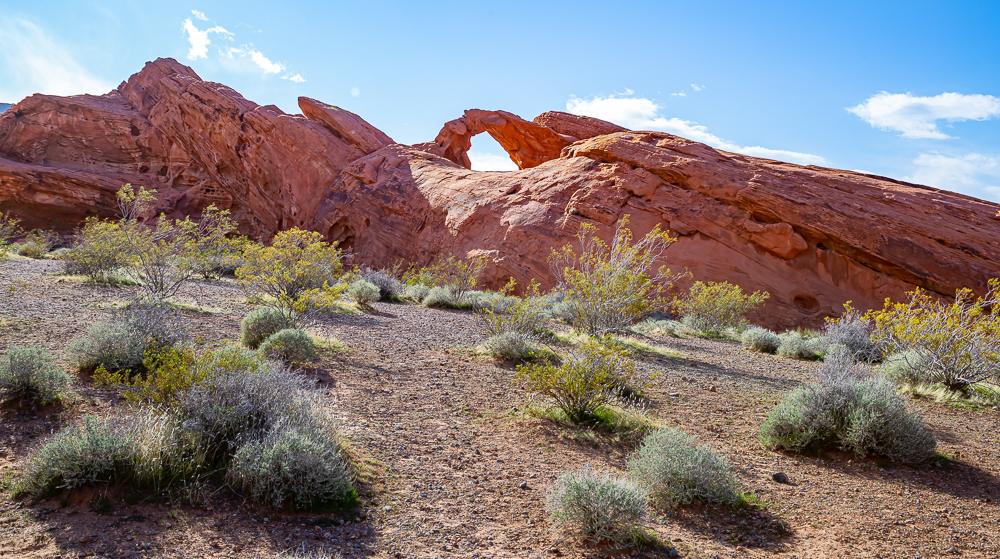
Arch Rock:
Exactly as its name describes, it is the most famous arch in the park. It is however off limits to climbing due to its fragile structure. We got to enjoy its beauty from the front as well as the back.



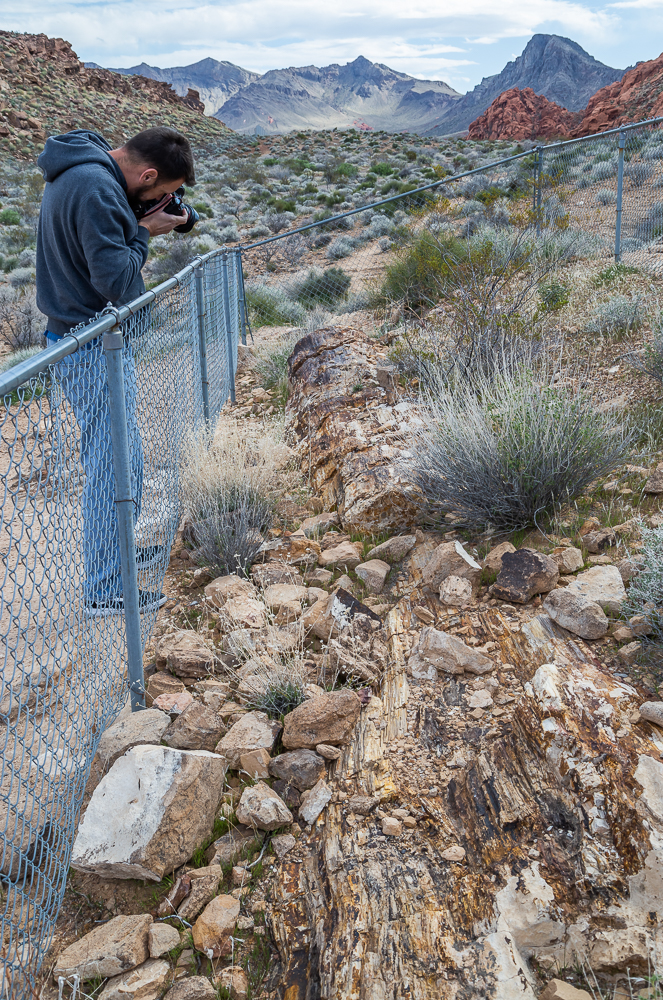
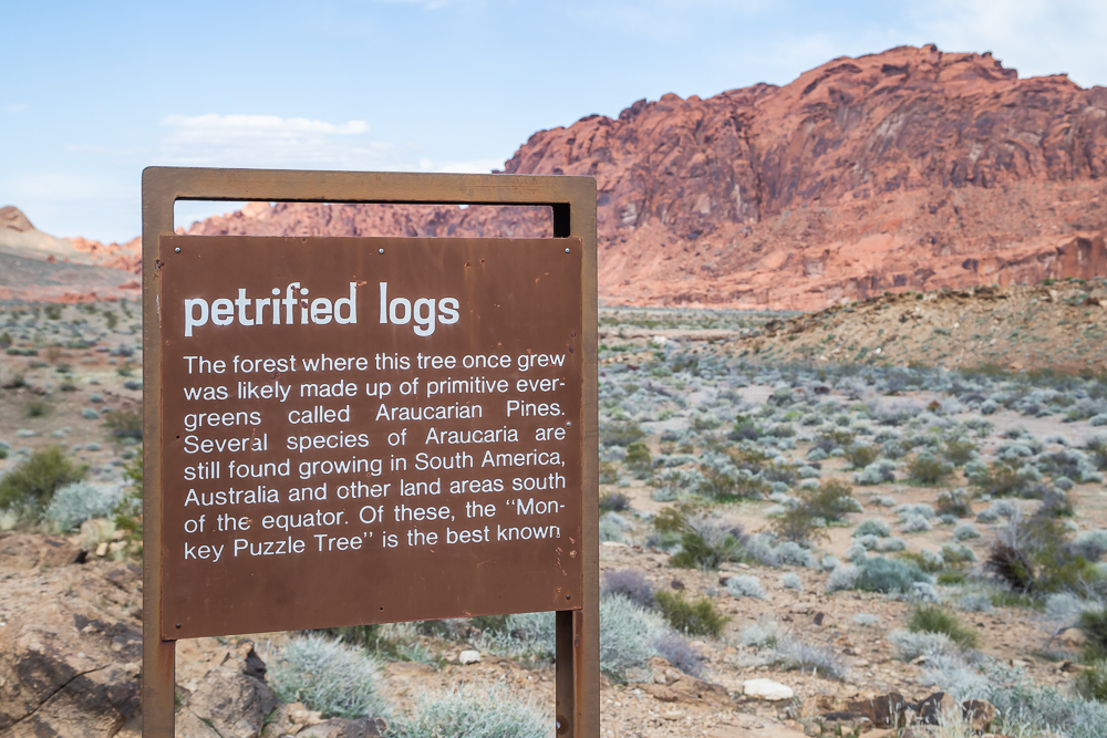
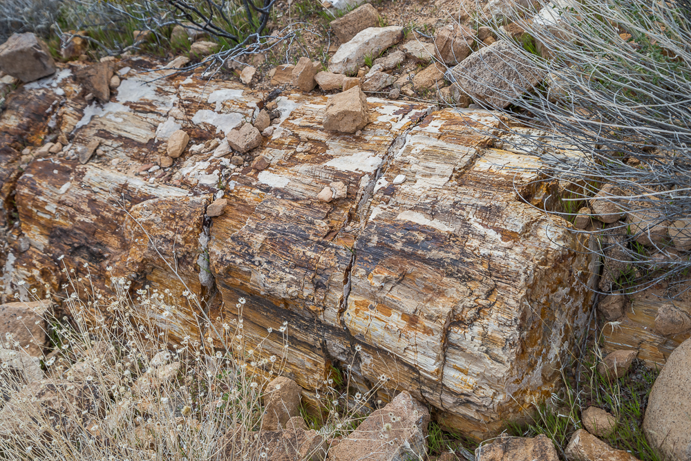
Petrified Logs:
Logs and stumps, washed into the area from an ancient forest about 225 million years ago. They are exposed in two different locations and although I was not too impressed with them, it is crazy to think they are that old!


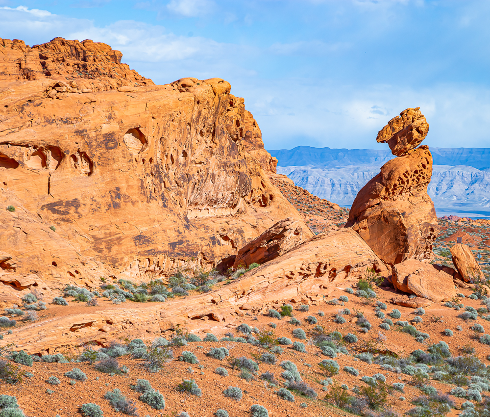
Balanced Rock:
Another amazing formation that was not included in our brochure but was so breathtaking we felt it deserved a mention. This is a short walk from the Visitor’s Center and very hard to miss if you stop by there for info or even a bathroom break.

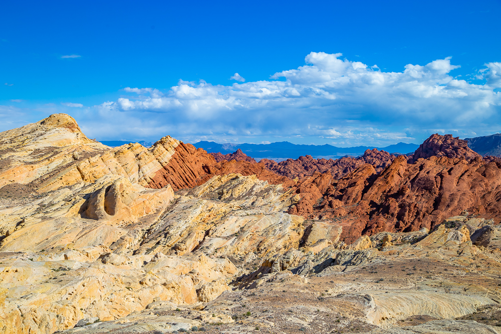
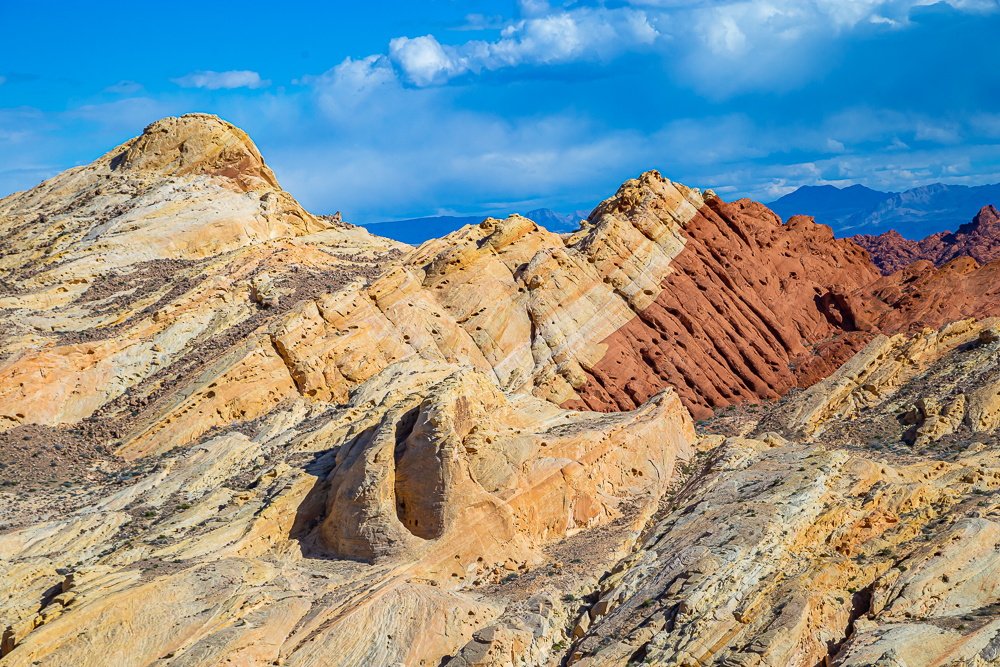
Rainbow Vista
is a hiking trail with many viewpoints including Fire Canyon and Silica Dome. Although we did not do this particular hike, we were able to see both Fire Canyon and Silica Dome by car and even got out to take a few photos. As you can see the sandstone formations that are so prominent in the Valley of Fire are made of sand grains that are almost pure silica. The Silica Dome is the finest example of such a deposit, creating the change from white to red when small quantities of iron in the rock produces a rust-like stain:

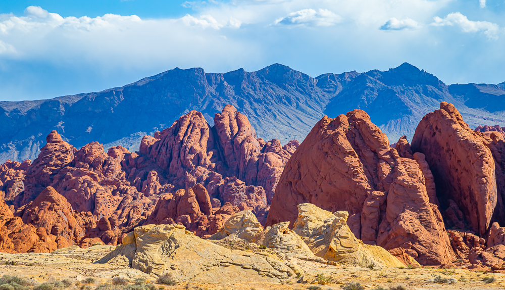


Gibraltar Rock:
This massive collection of rocks is comprised of red sandstone and resembles the famous Rock of Gibraltar in southwest Europe. It’s so big we only got a chance to photograph it from our moving car but there are several hikes you can take to it and even to the top if you dare.
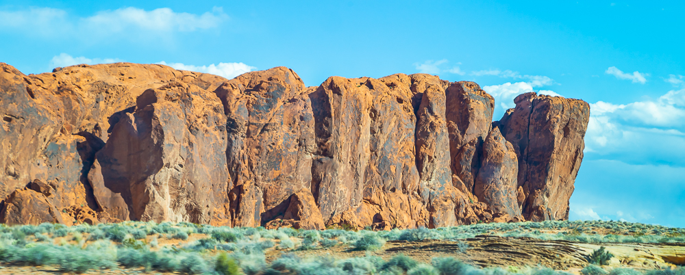

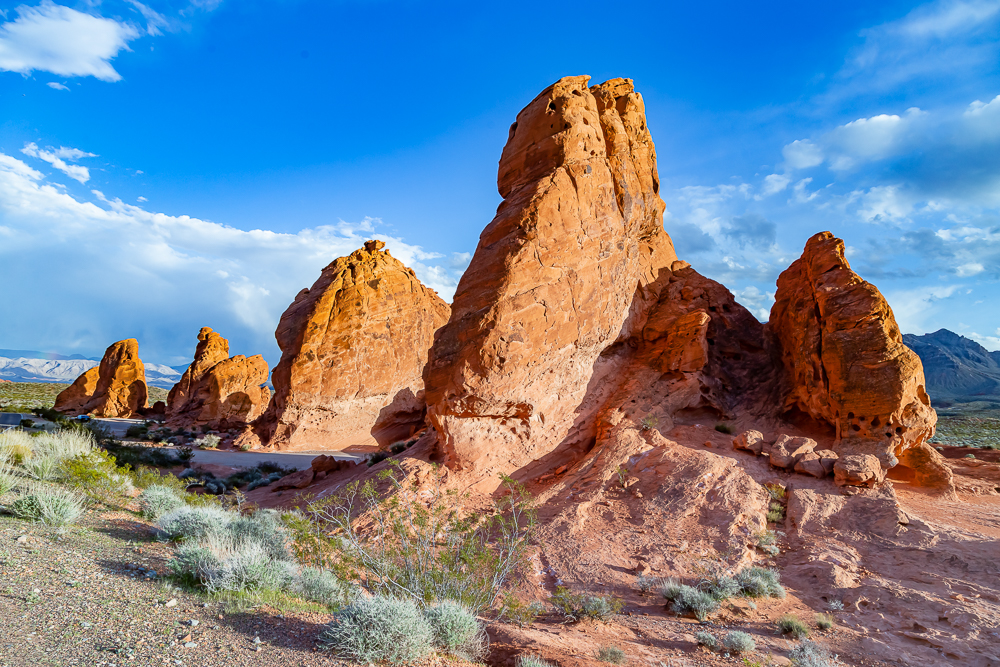
Seven Sisters:
Fascinating red rock formations are easily accessible from the road.
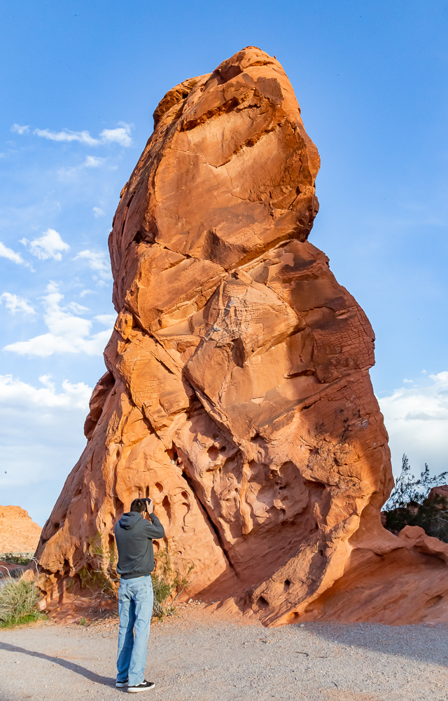
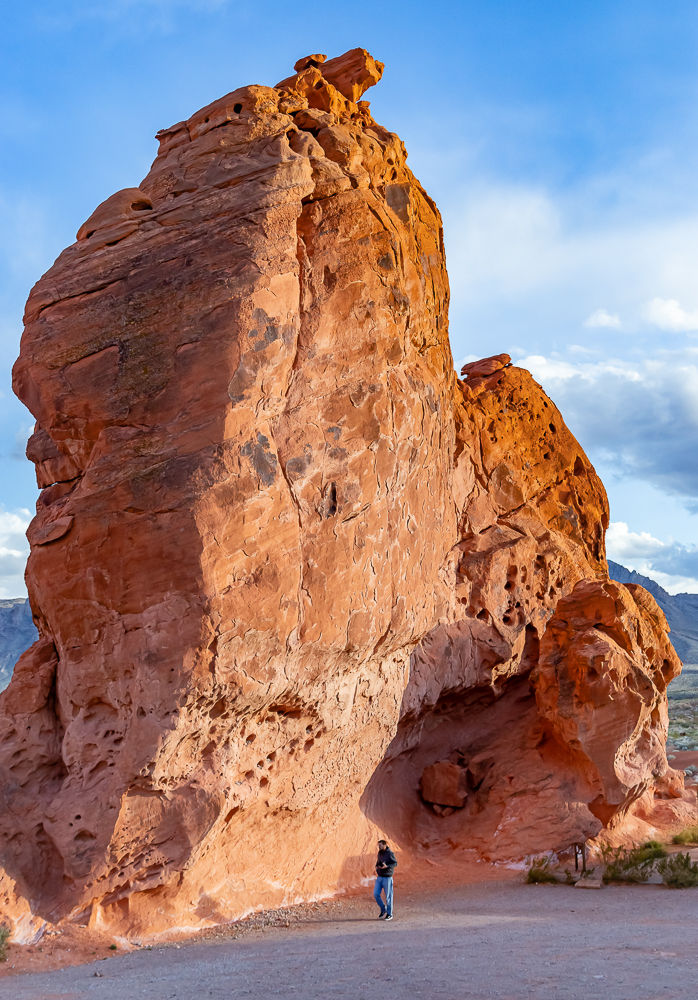


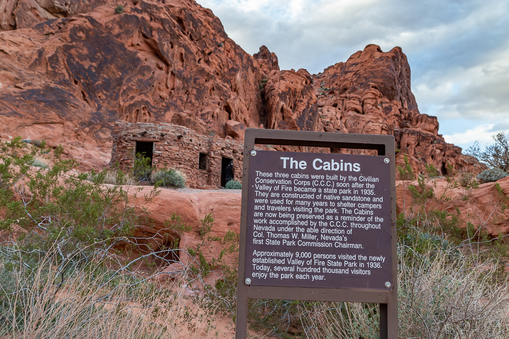
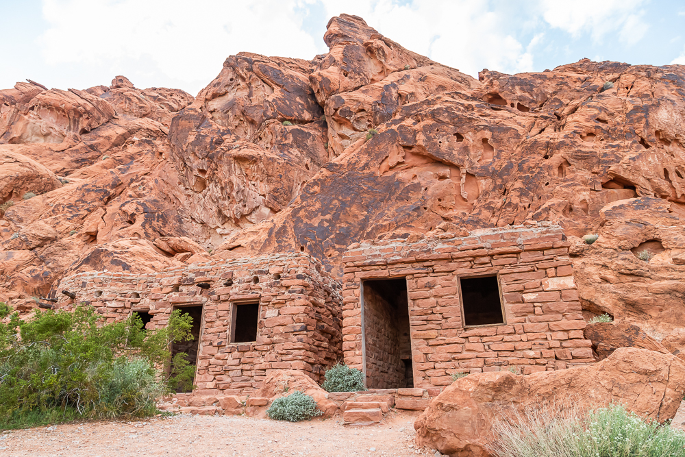
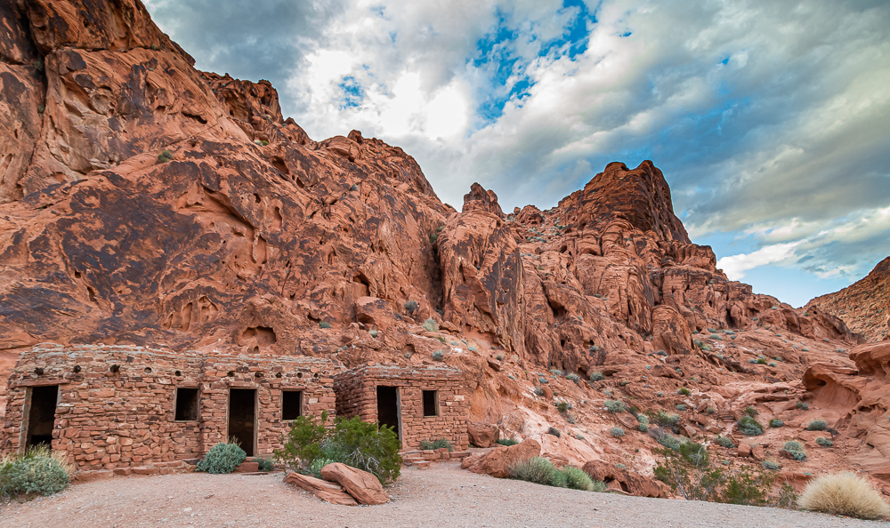
Cabins:
Historic stone cabins that were built with native sandstone by the CCC in the 1930s as a shelter for travelers of the Arrowhead Trail.


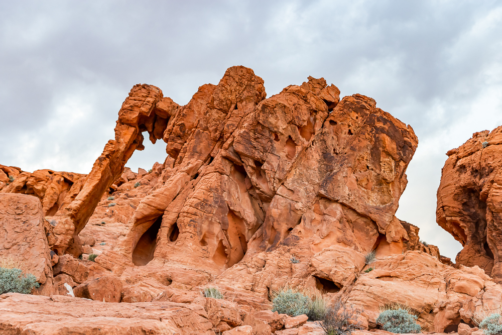
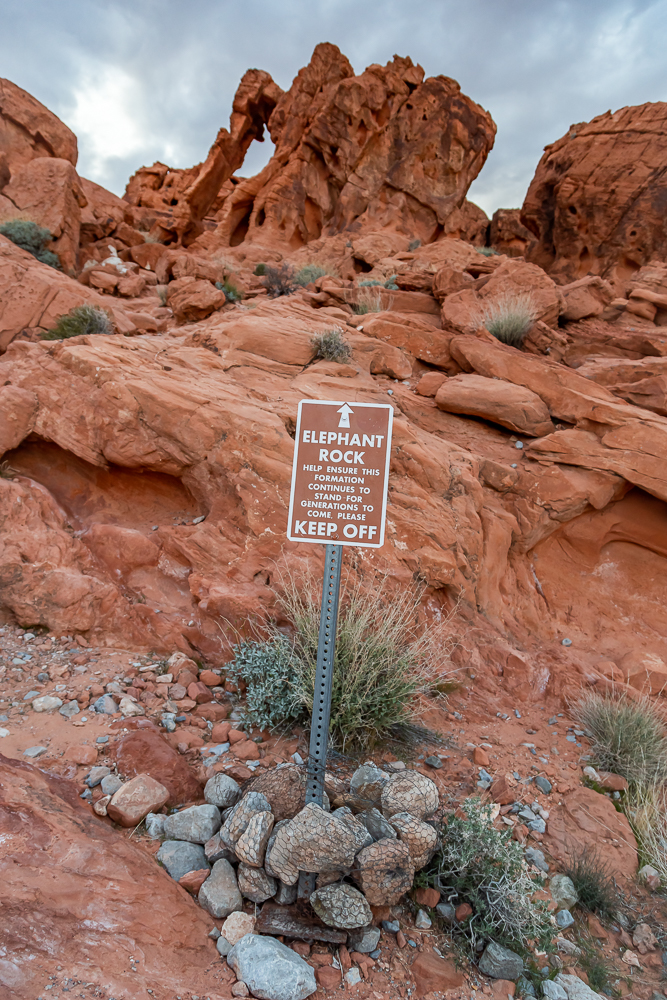
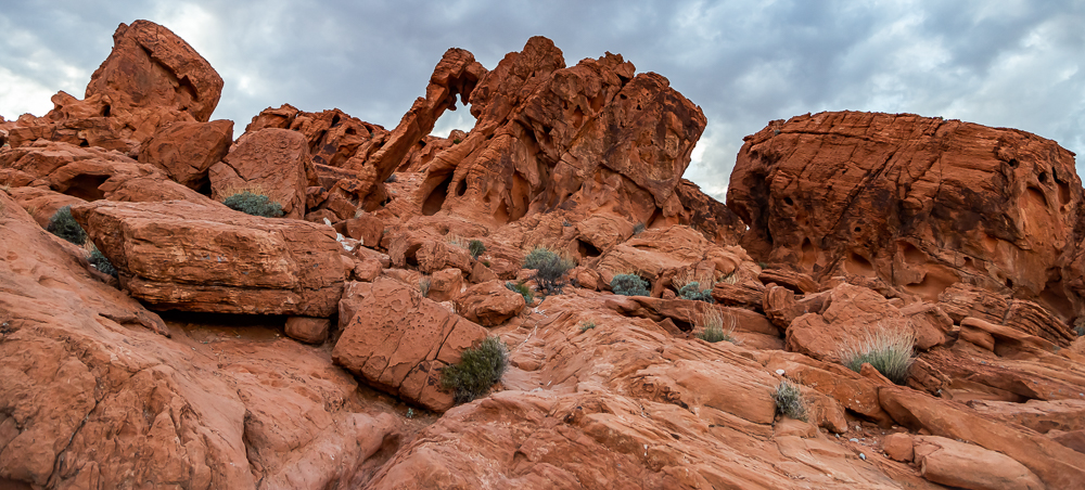
Elephant Rock:
Located at the East Entrance to the park perched high on the side of the road is Elephant Rock. Although this formation is accessible by trail to the back as well as the front, we only got shots of it from the front due to the sun setting and it was getting dark.


Two hikes that we didn’t have enough time to do were Mouse’s Tank and Fire Wave. Because we didn’t hike those trails we do not have photos of them but, we are planning another trip and when we go back I will be updating this blog post to include them.
In closing, I want to stress the variety of rock formations this park has to offer. I have a few more photos to post and I really hope you enjoy looking at them. I will be back to this park to see the areas we never had the chance to get to and discover new formations by exploring ourselves. I’m thinking one week the next time and my next post will have LOTS more photographs!

Park hours are Sunrise to Sunset and the best time to visit is Spring and Fall.
Cell phone coverage is spotty but best around entrances and White Domes Area.
Pets are welcome but must be kept on a leash.
Drones are not allowed.
Click here for more photos!


